

Geography
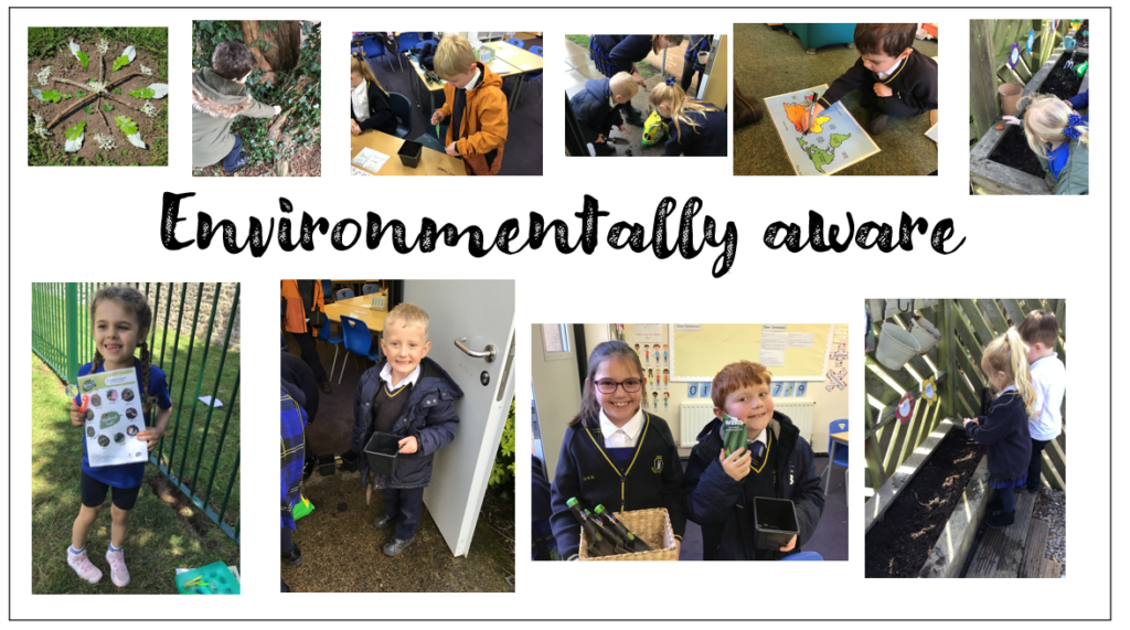
Our Vision: For our children to be environmentally aware, local, and global citizens and inquisitive and informed geographers.
What is a Geographer?
Being a geographer means being curious about the world. Geographers ask questions about places, people, and environments and investigate how they are connected and how they change over time.
At Hart, our pupils learn to:
- Ask and investigate questions about places and people
- Observe and compare locations
- Use maps, globes, satellite images, and digital tools
- Collect and analyse data through surveys, measurements, and fieldwork
- Create maps, graphs, and diagrams to show patterns and changes
- Read high-quality texts and case studies to explore people and places
- Think about sustainability and the future
- Connect learning to real careers, such as renewable energy, tourism, logistics, and environmental management
- Present their findings clearly in writing, discussion, or presentations
Linking Geography Learning to Careers
At Hart, we help pupils see how the skills and knowledge they learn in geography connect to real jobs. For example:
- Renewable energy – Pupils explore local wind turbines and solar panels, calculating energy outputs and considering how clean energy powers homes and businesses. This links to careers in engineering, energy management, and sustainability planning.
- Environmental management – Learning about coastal erosion, conservation, and local green spaces prepares pupils for roles in wildlife management, environmental consultancy, or local authority planning.
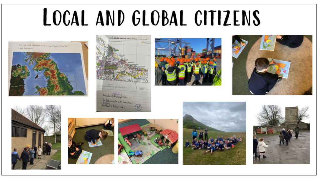
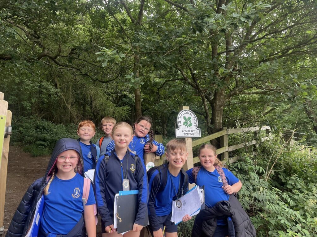
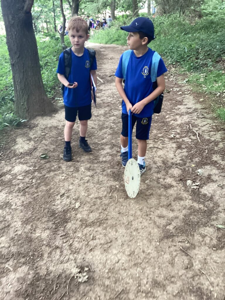
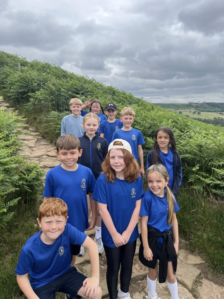
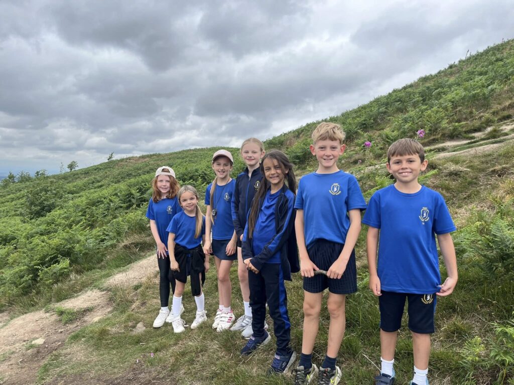
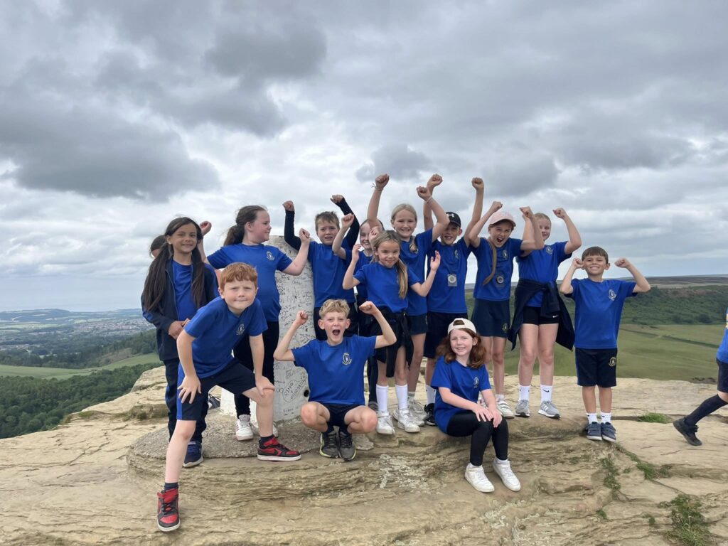
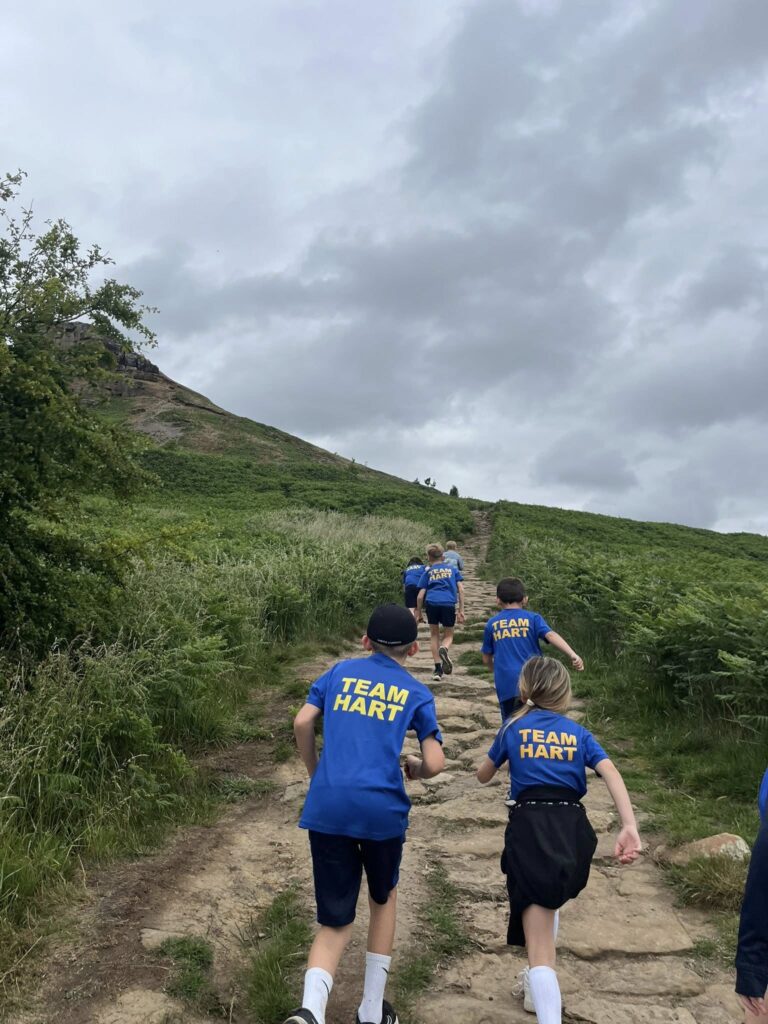
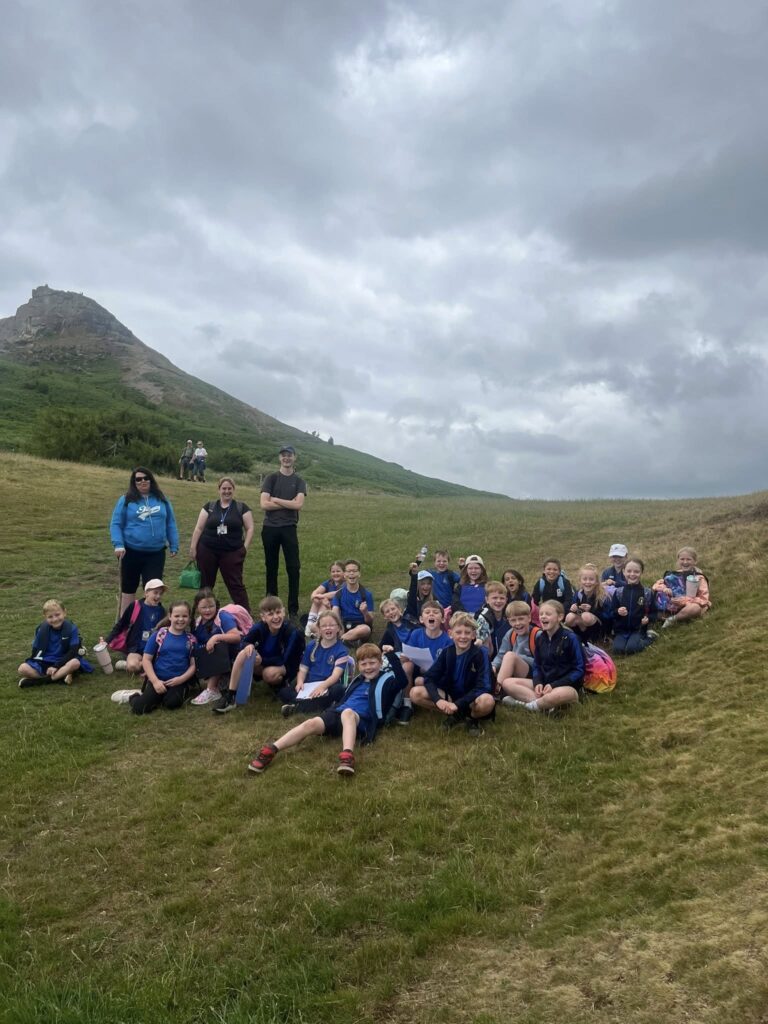
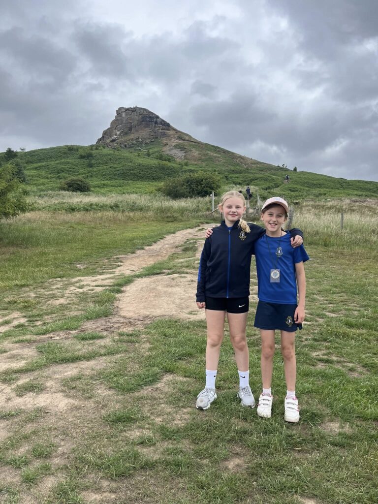
- Tourism and hospitality – Fieldwork at Roseberry Topping teaches pupils how tourism shapes communities and local economies. Careers in event planning, hospitality, or tourism management can stem from this knowledge.
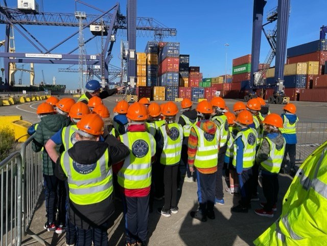
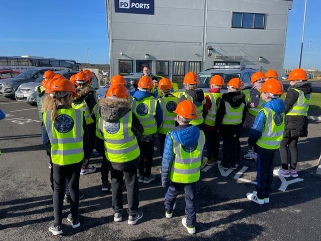
- Logistics and trade – Studying PD Ports and how goods move locally and globally show pupils the importance of trade and transport. This links to careers in shipping, supply chain management, and international business.
- Urban planning and construction – Pupils explore how towns and transport networks develop over time, giving insight into architecture, civil engineering, and town planning careers.
- Sustainability and climate action – Lessons on human impact, climate change, and energy use support pathways in environmental policy, sustainability consultancy, and conservation work.
Why is it important to know what it means to be a geographer? The opportunities we give our pupils to raise awareness of different careers and prepare them for the world of work, can be found in our Careers Protocol.
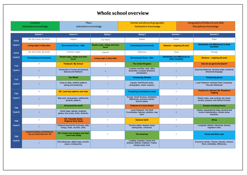
Hart Geography Curriculum
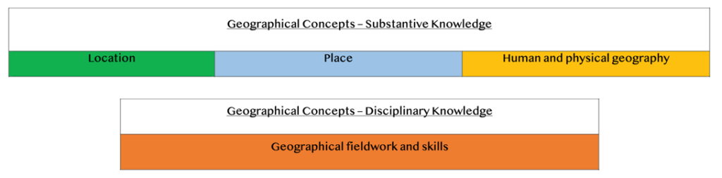
At the heart of the Hart’s Geography curriculum is the substantive and disciplinary knowledge that children need to prepare them for success in their education journey and to prepare them for work in different industries.
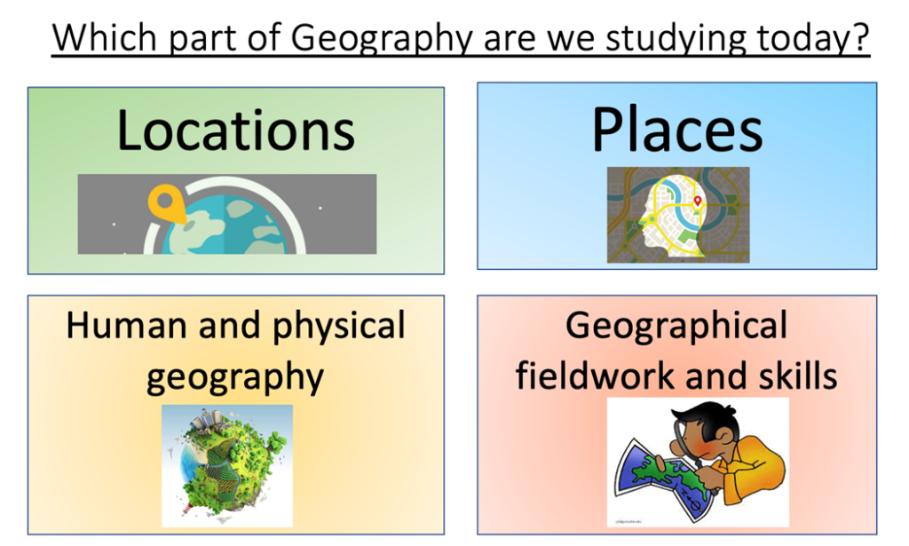
Substantive geography knowledge is the core learning from the disciplines of location, place and human and physical geography.
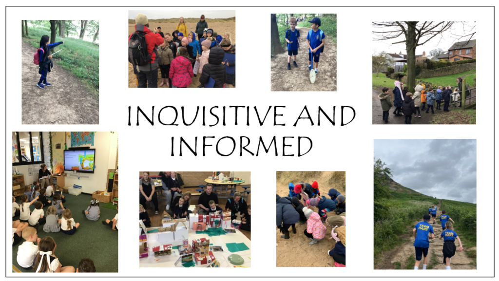
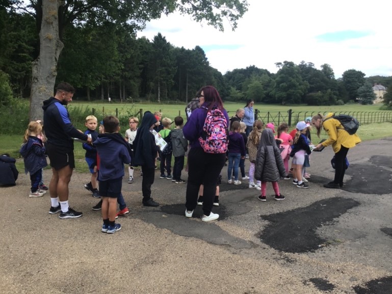
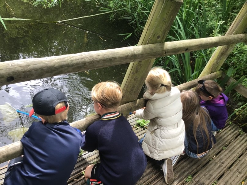
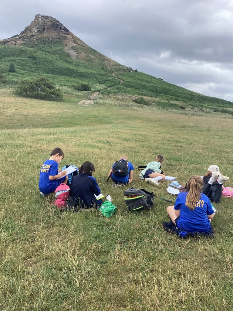
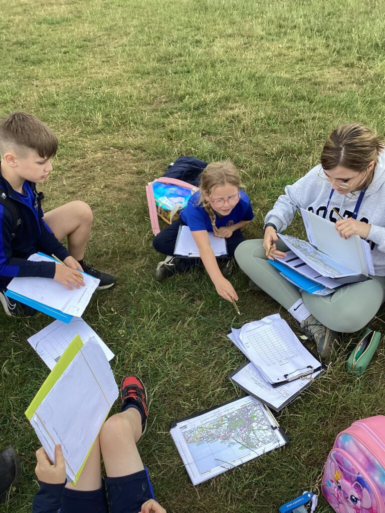
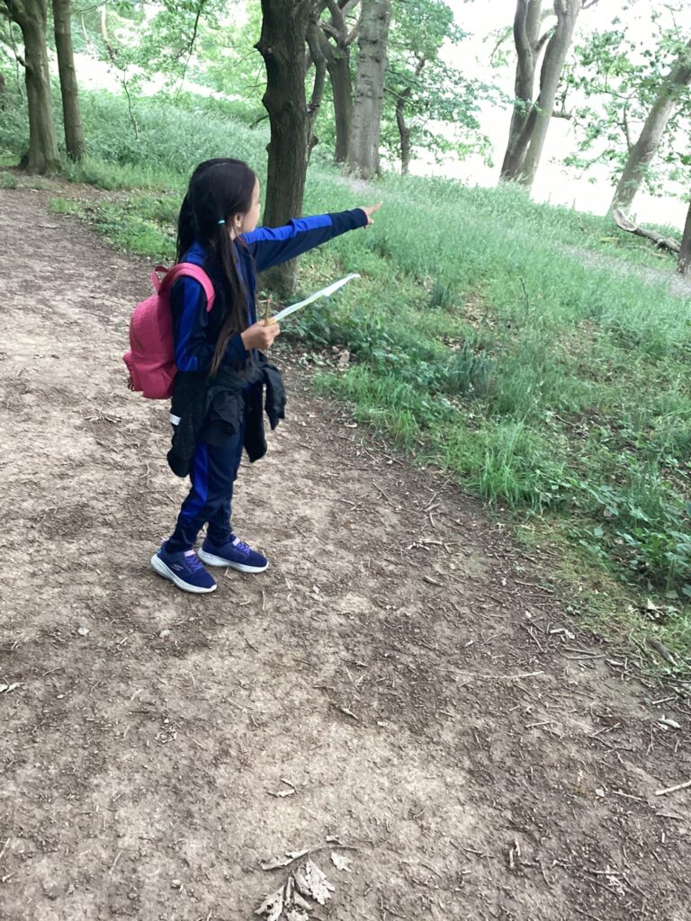
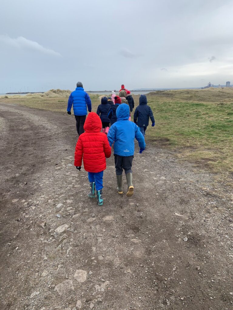
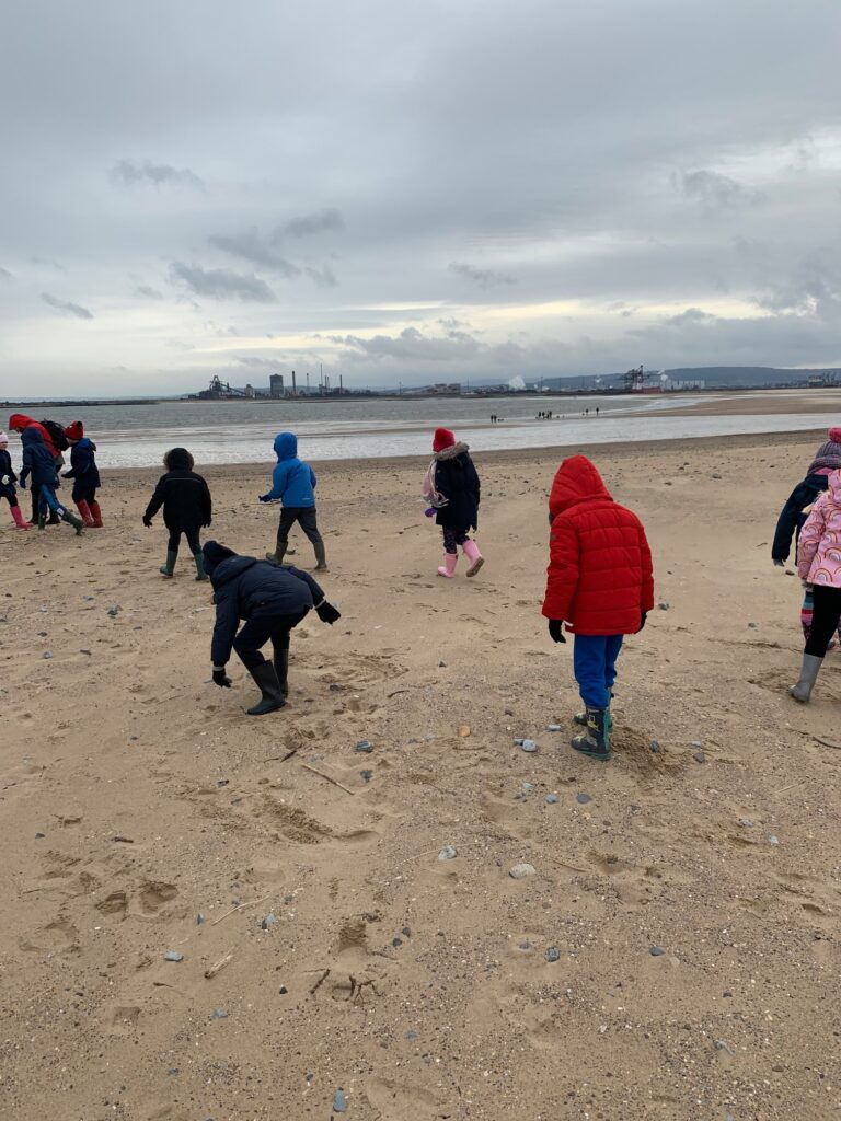
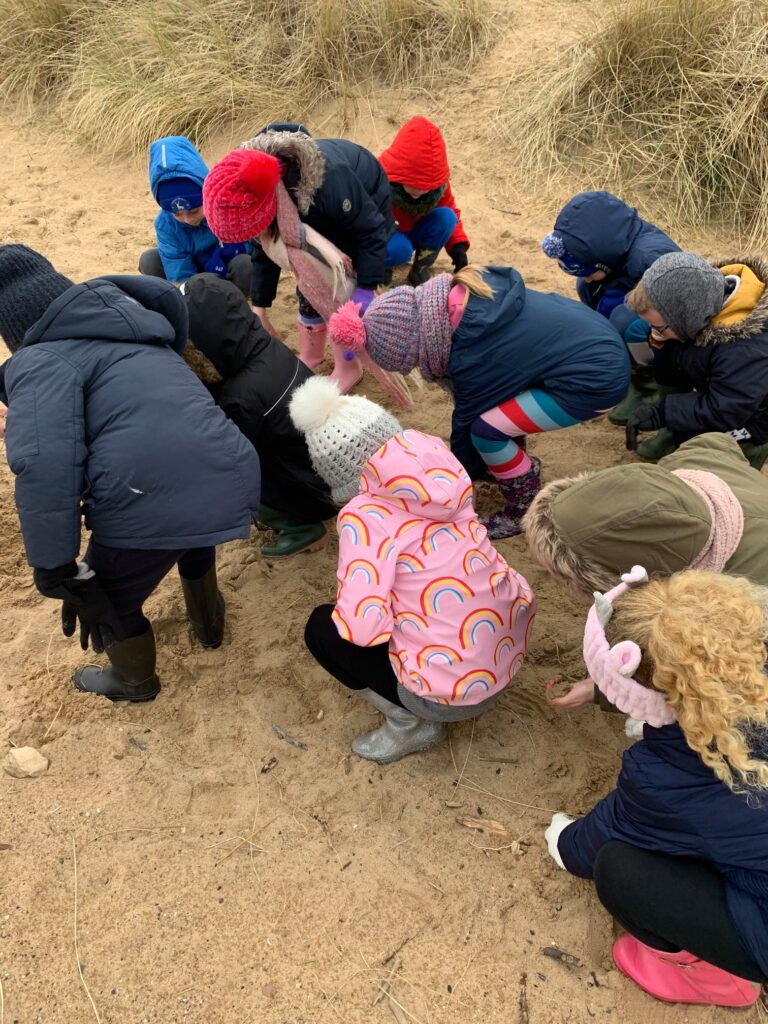
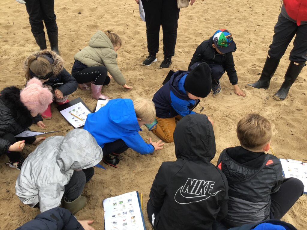
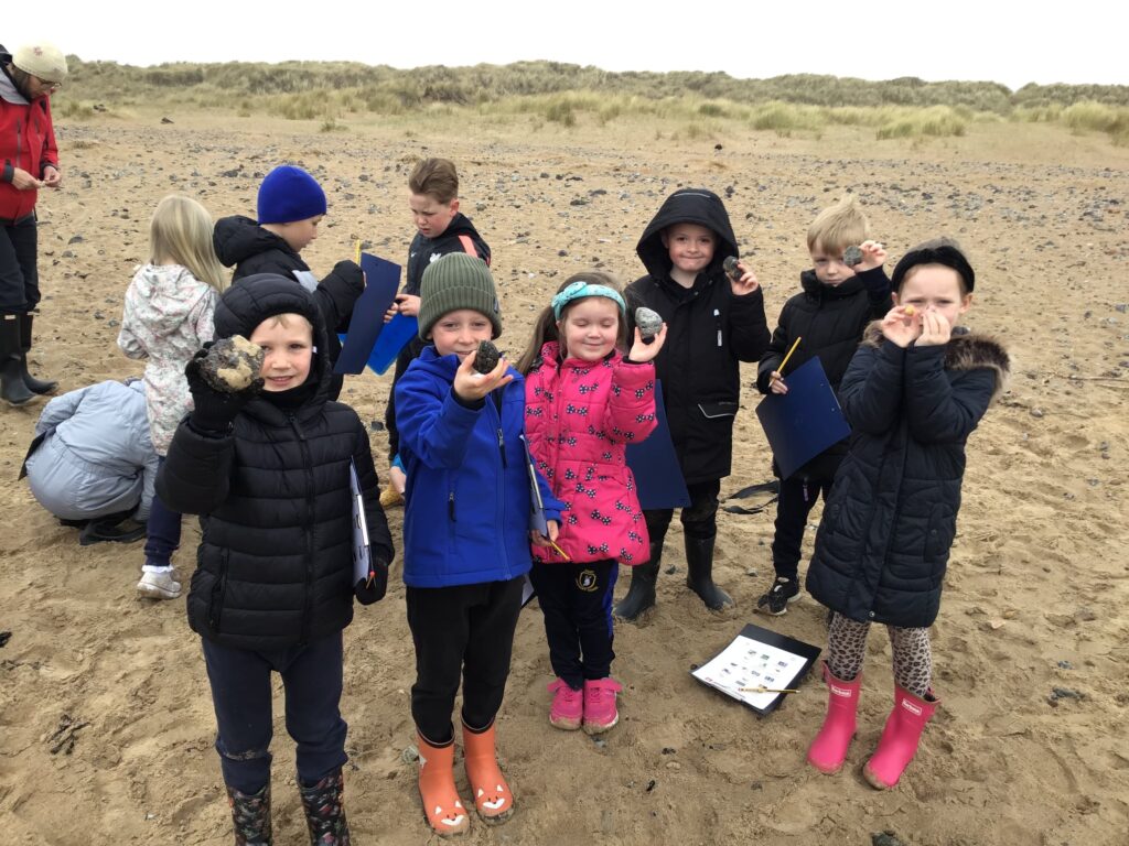
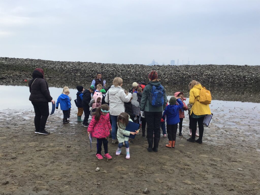
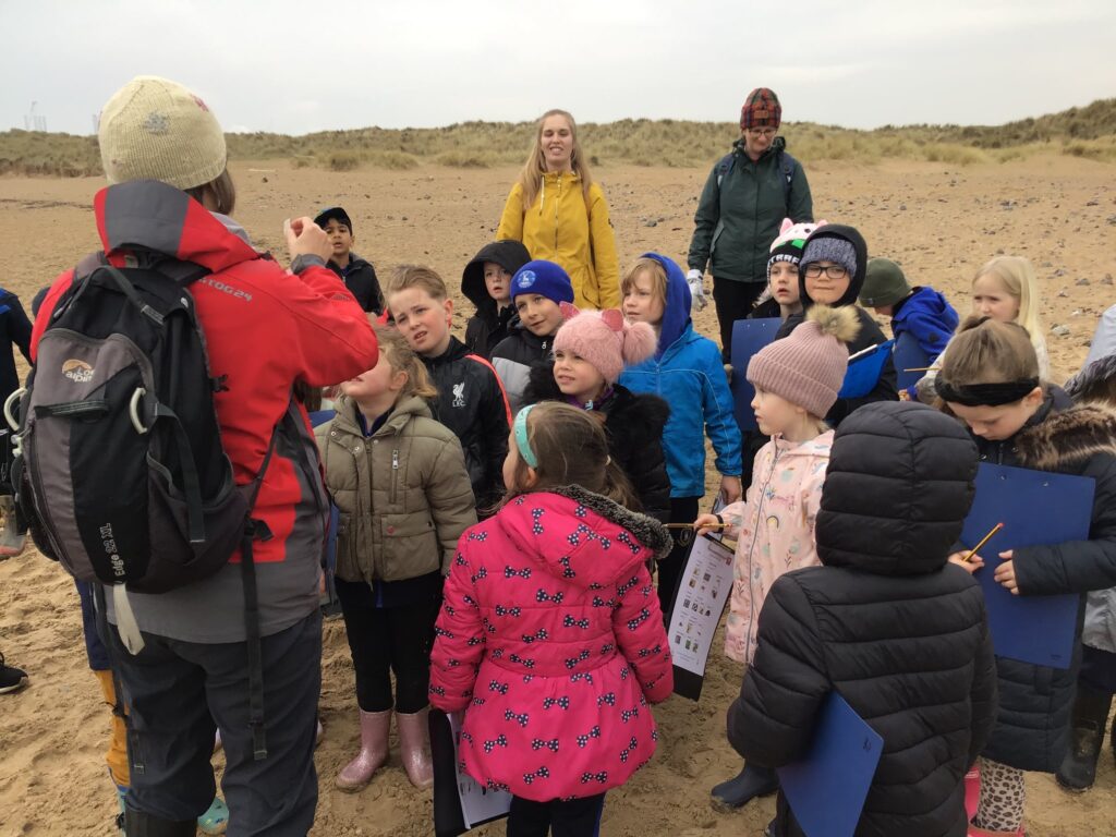
Disciplinary knowledge involves fieldwork and geographical skills. This allows children to investigate and experience learning outside the classroom. Geographers gather, measure, record and present data. Each year group has an opportunity to conduct fieldwork in the school grounds, the local area or the regional area. Children ask geographical questions, such as ‘What is the place like?’ and ‘Has it always looked like this?’
Disciplinary geography knowledge happens because of substantive knowledge. When children know the established facts, they can start to consider how Geographers acquired this knowledge, its degree of certainty and how it is revised.
Recent examples children have spoken about include:
- How our local area changes over time
- Reduction of greenbelt areas
- Country borders changing (Sudan and South Sudan in 2011)
- Invasions (Russia invading Ukraine, which began in 2014)
- How processes change including erosion
- Migration and different reasons for this
Our curriculum is based on the National Curriculum.
By the end of Key Stage 1:
Pupils should develop knowledge about the world, the United Kingdom and their locality. They should understand basic subject-specific vocabulary relating to human and physical geography and begin to use geographical skills, including first-hand observation, to enhance their locational awareness.
By the end of Key Stage 2:
Pupils should extend their knowledge and understanding beyond the local area to include the United Kingdom and Europe, North and South America. This will include the location and characteristics of a range of the world’s most significant human and physical features. They should develop their use of geographical knowledge, understanding and skills to enhance their locational and place knowledge.
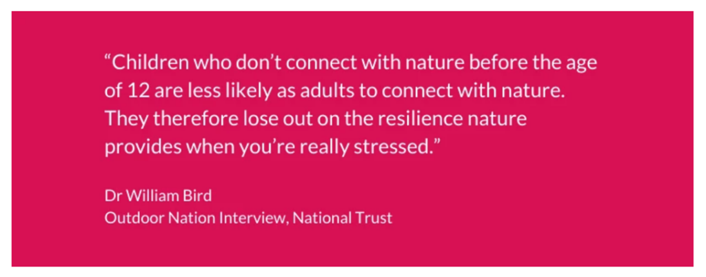
Cultural Capital
Ofsted first mentioned cultural capital in their School Inspection Handbook as ‘the essential knowledge that pupils need to be educated citizens, introducing them to the best that has been thought and said and helping to engender an appreciation of human creativity and achievement.’
How we develop cultural capital at Hart Primary
At our school, we make cultural capital practical and relevant by:
- Exploring our local area: studying the coast, PD Ports, and local industries
- Experiencing tourism and industry by visiting sites like Roseberry Topping and regional landmarks
- Linking learning to careers with renewable energy, logistics, tourism, and environmental management
- Providing rich texts and discussions: giving children access to ideas, stories, and knowledge beyond their everyday experience
- Encouraging real-world connections: assemblies and workshops with local businesses and organisations
Through these experiences, pupils gain the knowledge, skills, and perspectives they need to thrive as informed, confident, and engaged citizens.
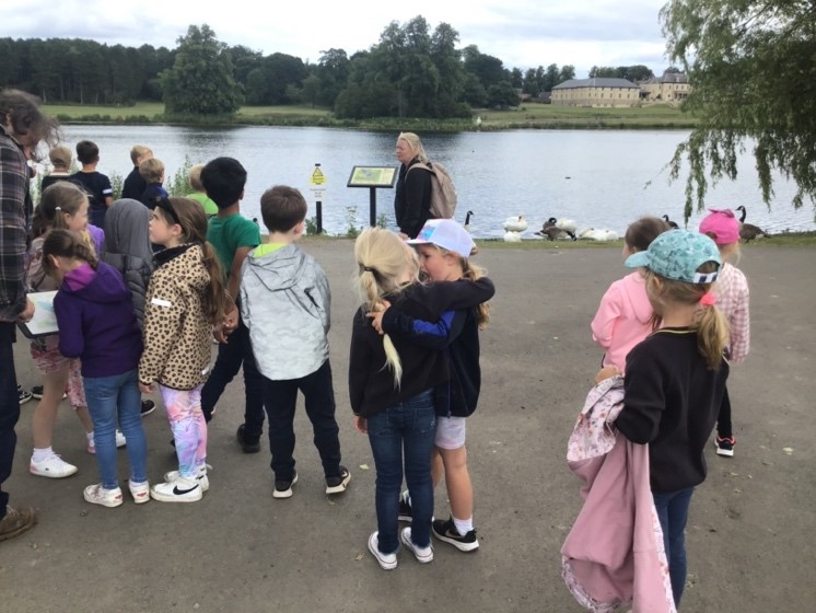
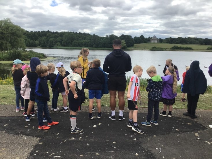
Hardwick Park
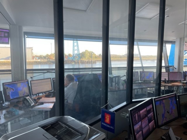
PD Ports
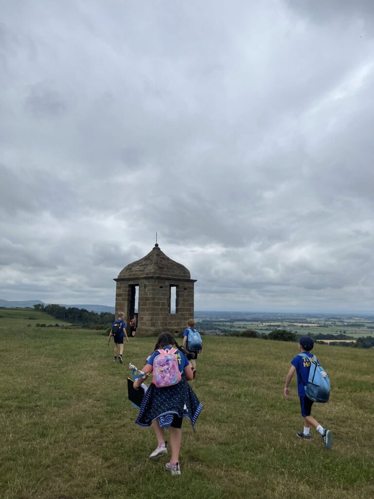
Roseberry Topping
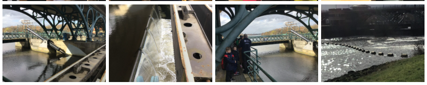
Tees Barrage
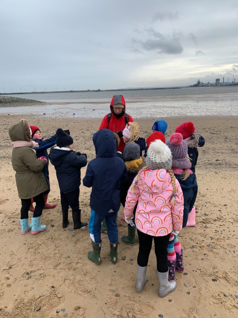
Teesmouth
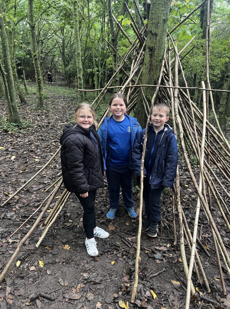
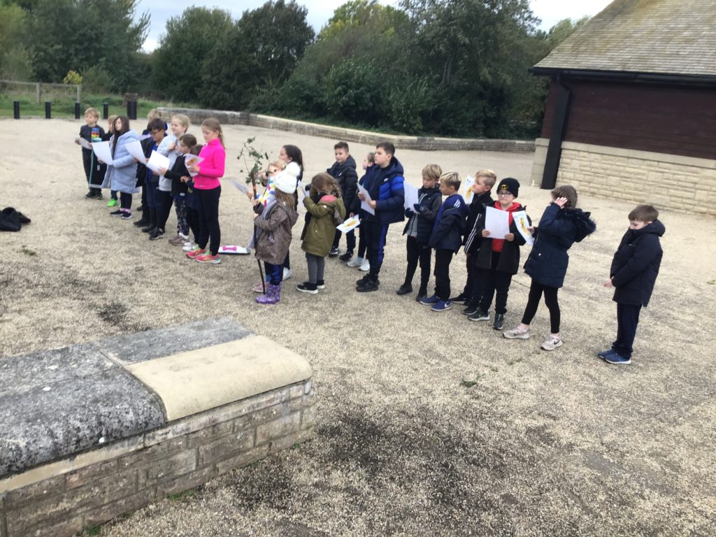
Orienteering and Den Building
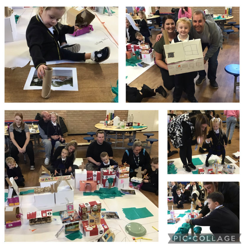
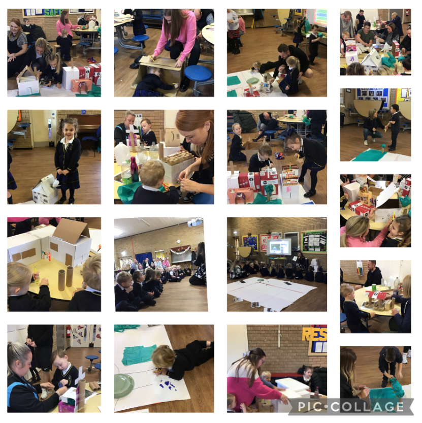
Early Years – Understanding the world with parents and carers
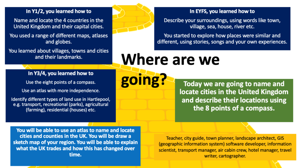
An example of a Road Map which we use at the beginning of each lesson:
An example of how we introduce a geographical concept.
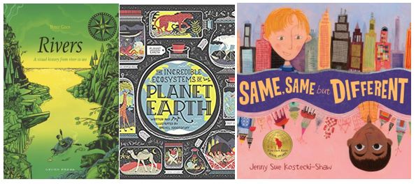
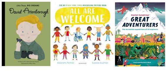
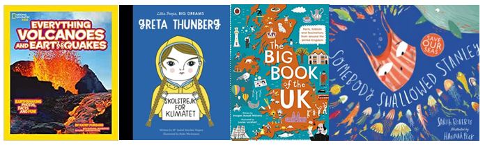
Our curriculum mapping includes a variety of texts. Here are some examples:
Our children regularly use a range of maps, including:
- Atlases
- Globes
- World maps
- Ordnance Survey
- Digimaps (digital mapping)
- Thematic
- Physical
- Maps throughout history
Key Documents
Useful Links:
- Digimaps for Schools Please check Teams for the log in details.
- KS1 BBC Bitesize
- KS2 BBC Bitesize
- Geography games
- Top Marks
- Rivers and Coasts
- Barnaby Bear
- Class Clips – Geography
- Royal Geographical Society – Geography at home
More information about our curriculum can be obtained by contacting your child’s teacher or the school office. Thank you